How Many Grand Canyons Are There? National Park vs. Parashant vs. West

Lipan Point Grand Canyon National Park South RIm Weddings and Elopements

With a name like the “Grand Canyon,” you’d think there could only be one. Then you start planning a trip and realize the name gets used for several very different destinations. Grand Canyon West is not the same as Grand Canyon National Park. Grand Canyon-Parashant National Monument is something else entirely.

Add in places like Marble Canyon, Glen Canyon, and overlooks or attractions that borrow the Grand Canyon name, and things can get confusing quickly.

The reality is that “Grand Canyon” is often used as both a specific national park and a broader regional label. Some areas are managed by the National Park Service. Others are on Tribal lands or protected monuments.

This identity confuses some people trying to plan a Grand Canyon wedding, elopement, or special event. Let’s clear that up.

Rim Worship Site at Grand Canyon with Grand Canyon Wedding Packages

The Geological Footprint of the Grand Canyon

Long before maps, park borders, or tourism campaigns existed, the Grand Canyon was part of a massive geological story unfolding across the Colorado Plateau.

The canyon system carved by the Colorado River generally begins in Marble Canyon near Lees Ferry in northern Arizona. The landscape transitions from narrower canyon walls into the immense chasm most people associate with the Grand Canyon today.

From there, the canyon stretches westward for hundreds of miles, cutting through layers of ancient rock to Black Canyon. It eventually eases toward the basin that now feeds into the Lake Mead region.

How the Grand Canyon Is Divided Today

This is where planning a Grand Canyon wedding or elopement gets tricky, because many locations offer some type of special event access.

However, the iconic views you see from Grand Canyon Wedding Packages only come from one of the many locations with “Grand Canyon” in the name. It’s also the place most people think of when the Grand Canyon comes to mind.

There are three names most associated with the Grand Canyon:

  • Grand Canyon National Park
  • Grand Canyon West
  • Grand Canyon-Parashant National Monument

Map of Grand Canyon

This map shows the different locations of Grand Canyon National Park, Grand Canyon West, and Grand Canyon-Parashant National Monument.

4 Grand Canyon Locations in the Grand Canyon Footprint

Now, let’s take a closer look at each of the three locations using the Grand Canyon name to help you with planning your event. The location is important, but also knowing what is or isn’t allowed, and the travel time and difficulty included.

Grand Canyon National Park

This is the Grand Canyon most people picture when they imagine sweeping overlooks, layered canyon walls, and iconic South Rim views. The national park protects a large stretch of the central canyon corridor.

It generally extends from the Marble Canyon region near Lees Ferry westward toward the remote western canyonlands near the Hualapai borderlands.

It is also the most accessible section of the canyon for visitors. Paved highways connect the park to major gateway cities like Las Vegas, Flagstaff, and Phoenix. Reaching the South Rim doesn’t require off-road vehicles or backcountry travel experience.

Unlike many protected national park areas, weddings and elopements are allowed at select designated viewpoints and ceremony sites through a permit process managed by the National Park Service.

Those include:

Grand Canyon Village anchors the South Rim, along with a historic district, lodging, visitor’s center, and shuttle hub. Weddings are not allowed below the rim.

TRAVEL TIP: Grand Canyon National Park’s South Rim is 280 miles, about 4:30 drive time, from Las Vegas. From Phoenix, it’s 225 miles and about 3:45 drive time.

If you’re in Las Vegas and you see Grand Canyon wedding opportunities that seem close to the city, that’s Grand Canyon West.

Lipan Point Grand Canyon National Park South RIm Weddings and Elopements

Grand Canyon West (Hualapai Indian Reservation)

Grand Canyon West sits on the reservation lands of the Hualapai Tribe along the western edge of the canyon. The Hualapai Reservation was formally established in 1883. However, the Hualapai people lived throughout this region long before modern borders existed.

This is Tribal land, not part of Grand Canyon National Park. The area is managed by the tribe instead of the National Park Service. That means different rules, different attractions, and separate entrance fees.

The area became world famous after the opening of the Grand Canyon Skywalk in 2007. The glass bridge extends over the canyon rim and lets visitors look straight down into the canyon below.

Grand Canyon West is also known for helicopter tours, cultural experiences, and viewpoints along the western canyon corridor. Compared to the national park, it is much closer to Las Vegas.

If you see Grand Canyon wedding experiences that allow you to land via helicopter on the Canyon bottom, that’s Grand Canyon West. The activity isn’t allowed in Grand Canyon National Park.

Grand Canyon-Parashant National Monument

Sitting on more than one million acres, Grand Canyon-Parashant National Monument protects a huge and remote section of canyon country west of Grand Canyon National Park. The National Park Service and Bureau of Land Management co-manage this landscape.

Logistics and landscape make this a challenging place to plan a wedding or elopement. First, the co-management means that the location of the wedding would require a specific permit from an individual agency or both.

Second, the landscape is beautiful but brutal. This is not the polished, easy-access version of the canyon most visitors imagine. The monument is known for rugged backroads and extreme isolation. No services, power, mobile service, or paved roads are in the monument.

Third, as one of the least-visited public land sites in America, you have no help if things go sideways. Consider Grand Canyon-Parashant as an option for honeymoons if you’re an adventurous couple skilled in backcountry expeditions and self-survivial skills.

Supai Village | Havasupai Tribe

Deep within a side canyon of the greater Grand Canyon system sits Supai, the main village of the Havasupai Tribe. It sits between Grand Canyon West and Grand Canyon National Park on the south side of the Colorado River.

Today, the reservation is known worldwide for its bright turquoise waterfalls and striking red rock canyon scenery. Reaching Supai requires a hike or horseback ride of about eight miles into the canyon or a helicopter service that operates on a limited schedule. No roads lead directly into the village.

The area is managed entirely by the tribe. Visitors must obtain permits and reservations through the Havasupai Tribe, often months in advance.

Havasu Falls on tribal land outside of Grand Canyon National Park is only accessible by reservation and requires a long hike or helicopter ride.

Planning a Grand Canyon Wedding or Elopement at the National Park

The Grand Canyon is far bigger and more complex than many visitors realize. Some areas are designed for easy sightseeing. Others are remote wilderness. Some are managed by the National Park Service, while others are Tribal lands with their own rules, permits, and traditions.

For most couples, Grand Canyon National Park offers the best balance of iconic scenery, accessibility, and approved ceremony locations. At Grand Canyon Wedding Packages, we can design your ideal wedding, viewpoint, and amenities within the national park.

Of course, the canyon is only part of the story in Northern Arizona. Some couples prefer the pine forests and mountain views near Flagstaff. Others fall in love with the red rocks and desert scenery around Sedona.

We help couples navigate the differences between these destinations and plan an experience that fits their vision, comfort level, and sense of adventure. You can also explore things to do in Northern Arizona as you’re planning your Grand Canyon destination wedding.

The Worst Grand Canyon Review Ever: “Valueless,” “Profitless,” and “Forever Unvisited”

Lipan Point Grand Canyon National Park South RIm Weddings and Elopements

The saying goes that you need to see the forest for the trees. In the case of the Grand Canyon, one of its earliest explorers missed that point entirely. He couldn’t see the value in the Grand Canyon. In fact, long before Google Reviews and Yelp were even a thing, his review went down in history as maybe the absolute worst. At least, it was absolutely wrong.

He used words like “valueless,” deeming it to be “forever unvisited.” Quite ironic, considering that Grand Canyon National Park brings in nearly five million visitors a year and has more than a $1.1 billion economic impact. It’s also the most photographed national park in the country and one of the top destination wedding locations.

Who was this explorer who was so shortsighted that he looked at a natural wonder and wrote “after entering… there is nothing to do but leave”?

Exploring the Grand Canyon: The Early Years

While Indigenous people lived in the canyon lands for time immemorial, it wasn’t until the 1540s that the first European attempts to see the Grand Canyon happened. Reports came back that the Hopi convinced the pioneers that the land was an “impenetrable wasteland” and access to the bottom was impossible.

Fast forward about 230 years. The Mexican-American War was over. While the Grand Canyon as we know it today was technically part of the United States, its location sat in the New Mexico Territory.

The map below, from 1852, shows a rough estimate of what the southwestern section of the United States was believed to look like. With no real expeditions through this region, nobody knew how to fill in the map gaps. Most referred to it as “The Great Unknown.”

That was about to change.

Southwestern United States Map, 1852 |Creator: Joseph Hutchins Colton

The Ives Expedition of 1858

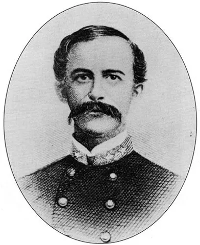
Joseph Christmas Ives led an expedition of the Colorado River in 1858. Funded by the government, the U.S. Army Corps of Engineers’ first lieutenant was up to the task.

He led a river steamer named “Explorer.” His mission was to answer the question “Could the lower Colorado River be used as a transportation route from the Gulf of California into the interior Southwest?”

The crew battled the upstream currents from the Gulf of California to the area near present-day Las Vegas. Aside from some intimidating run-ins with Indigenous tribes, things were going well.

As they approached Black Canyon, where the Hoover Dam now stands, nature took over. The narrow canyon, mixed with powerful currents and a massive sunken rock, caused the Explorer to crash.

Ives wrote, “For a second, the impression was that the canyon had fallen in. The concussion was so violent that the men near the bow were thrown overboard.”

“We were shooting swiftly past the currents, eagerly gazing at the mysterious depths beyond, when the Explorer, with a stunning crash, brought up abruptly and instantaneously against a sunken rock.” — Joseph Christmas Ives, 1858

Ives, not one to let a little steamer crash kill the exploration vibe, took three men in a skiff and went past Black Canyon to Eldorado Canyon. From there, Ives took off by land, hellbent on seeing what the Colorado River did as it carved its way east.

He got as far as Cataract Canyon and Frazier Well, which is still part of the Hualapai Indian Reservation today. You might know this region better as Grand Canyon West.

Black Canyon of the Colorado River before Hoover Dam, where Ives’ steamship Explorer crashed.

The Words Ives Might Regret Today

It was in Frazier Well that Ives penned what we might call a two-start review in today’s terms. Like any good reviewer, he listed pros and cons.

For the positive aspects, he wrote, “The extent and magnitude of the system of canyons is astounding. Fissures so profound that the eye cannot penetrate their depths are separated by walls whose thickness one can almost span, and slender spires that seem to be tottering upon their bases shoot up thousands of feet from the vaults below.”

However, whether it was his frustration guiding his pen or just blunt honesty from a hardy man who couldn’t figure out a way through the river canyon, he noted this famous statement.

“The region is, of course, altogether valueless. It can be approached only from the south, and after entering it there is nothing to do but leave. Ours has been the first, and will doubtless be the last.. to visit this profitless locality. It seems intended by nature that the Colorado river, along the greater portion of its lonely and majestic way, shall be forever unvisited and undisturbed.”

“The region is, of course, altogether valueless. It can be approached only from the south, and after entering it there is nothing to do but leave.”

Again, remember that his mission was only to determine if this could be a transportation route. He wasn’t there trying to create the concept of national parks or log a wonder of the world. His final report gave the go-ahead to use the Colorado River from the Gulf of Colorado to Black Canyon, but not further.

Early artwork tied to the Ives expedition leaned heavily into the canyon’s danger and isolation, presenting it as more terrifying than awe-inspiring.

The Next Review: Five Stars

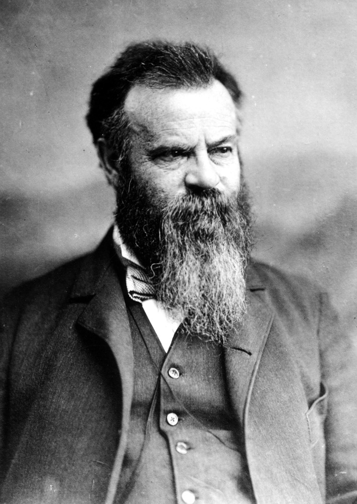
It took another decade before a one-armed Union Army Major penned the next review of the Grand Canyon. Despite the warnings written by Ives, Major John Wesley Powell did his homework and came up with a new plan.

In the 1830s, it became clear that the Green River in Wyoming and the Colorado River must be connected. Numerous attempts to run the whole river downstream from Wyoming through the “Great Unknown” stopped at modern-day Glen Canyon.

That is, until Major Powell entered the chat. A man as formidable as the Canyon himself, he made the trek at least twice.

His notes summarized it as if it were one trip. He was honest to note that the canyon felt like a “dungeon cell,” and the journey as one of “pain and gloom and terror.”

He also questioned why the Indigenous people lived here. “It is ever a source of wonder to us why these ancient people sought such inaccessible places for their homes,” Powell wrote in 1872, adding, “…they chose to imprison themselves within these canyon walls.”

At one point, as food supplies were running low, he almost gave up and headed to the Mormon settlements north. But that dogged determination that made him a Civil War legend was about to pay off.

His notes summarized the Grand Canyon with a perspective Ives didn’t have, and after seeing sights Ives couldn’t reach.

“The glories and the beauties of form, color, and sound unite in the Grand Canyon… It has infinite variety. Its colors, though many and complex at any instant, change with the ascending and declining sun,” Powell wrote, also stating, “The wonders of the Grand Canyon cannot be adequately represented in symbols of speech, nor by speech itself. The elements that unite to make the Grand Canyon the most sublime spectacle in nature.”

“The wonders of the Grand Canyon cannot be adequately represented in symbols of speech, nor by speech itself.”

As far as future visitors? He saw the potential for those who dared.

“It is a region more difficult to traverse than the Alps or the Himalayas, but if strength and courage are sufficient for the task, a concept of sublimity can be obtained never again to be equaled on the hither side of Paradise,” Powell added.

Translated to today’s language? “The Grand Canyon is harder to travel through than even the Alps or Himalayas, but if you are strong and brave enough to endure the struggle, you will experience a level of beauty and awe unmatched anywhere else on Earth.”

It’s also worth noting that Powell had access to photography. While still in its infancy, the time between Ives exploring the canyon and Powell’s journey was notable in photograph advancement.

FROM JOHN WESLEY POWELL’S 2ND EXPEDITION. “REPAIRING BOATS IN THE FIRST GRANITE GORGE.” GRAND CANYON OF THE COLORADO RIVER. AUGUST 1872.

From “Profitless” to Grand Canyon National Park

For decades afterward, the Grand Canyon remained difficult to reach and nearly impossible to wrap your head around. To many Americans back east, the canyon was still more rumor than reality.

Then came more photography. Early photographers brought dramatic images of the canyon to the public. The canyon stopped being seen as just a geological obstacle and started becoming a national treasure.

Railroads accelerated that shift. When the Atchison, Topeka, and Santa Fe Railway expanded access to Northern Arizona in the late 1800s, visiting the canyon became far more realistic. Hotels appeared along the rim. Tourism followed.

One of the biggest turning points came when Theodore Roosevelt visited in 1903. Unlike Ives, Roosevelt instantly understood the canyon’s value. He famously urged Americans to protect it, saying, “Leave it as it is. You cannot improve upon it.”

That mindset helped push the canyon toward federal protection. The Grand Canyon became a national monument in 1908 and officially became Grand Canyon National Park in 1919.

President Theodore Roosevelt (2nd from left) with Governor of Arizona Territory, Alexander Brodie (3rd from left) at Grand Canyon, May 6, 1903.

Your Grand Canyon Wedding Expedition Starts Here

Thanks to the explorers, photographers, railroad workers, conservationists, and visionaries who helped introduce the Grand Canyon to the world, couples today can experience one of the most extraordinary landscapes on Earth without needing to survive a river expedition to get there.

The National Park Service now allows weddings and elopements at select locations along the canyon’s South Rim, transforming a place once considered a “great unknown” into the backdrop for unforgettable celebrations.

At Grand Canyon Wedding Packages, we help guide that journey. From trusted vendors and photography to timeline planning, location guidance, and permit assistance, we’re your explorers in this fabled landscape.

Grandeur Point Grand Canyon Wedding Packages South Rim